About Dynamic USA Map
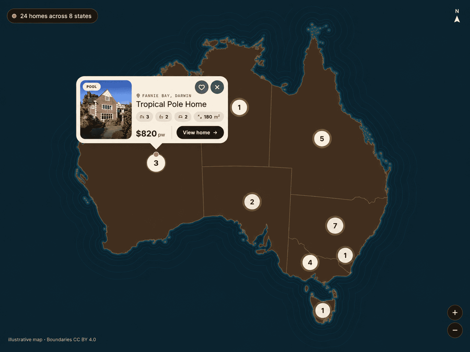
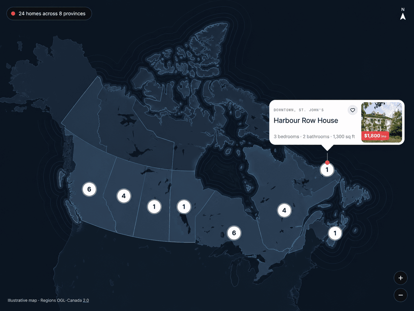
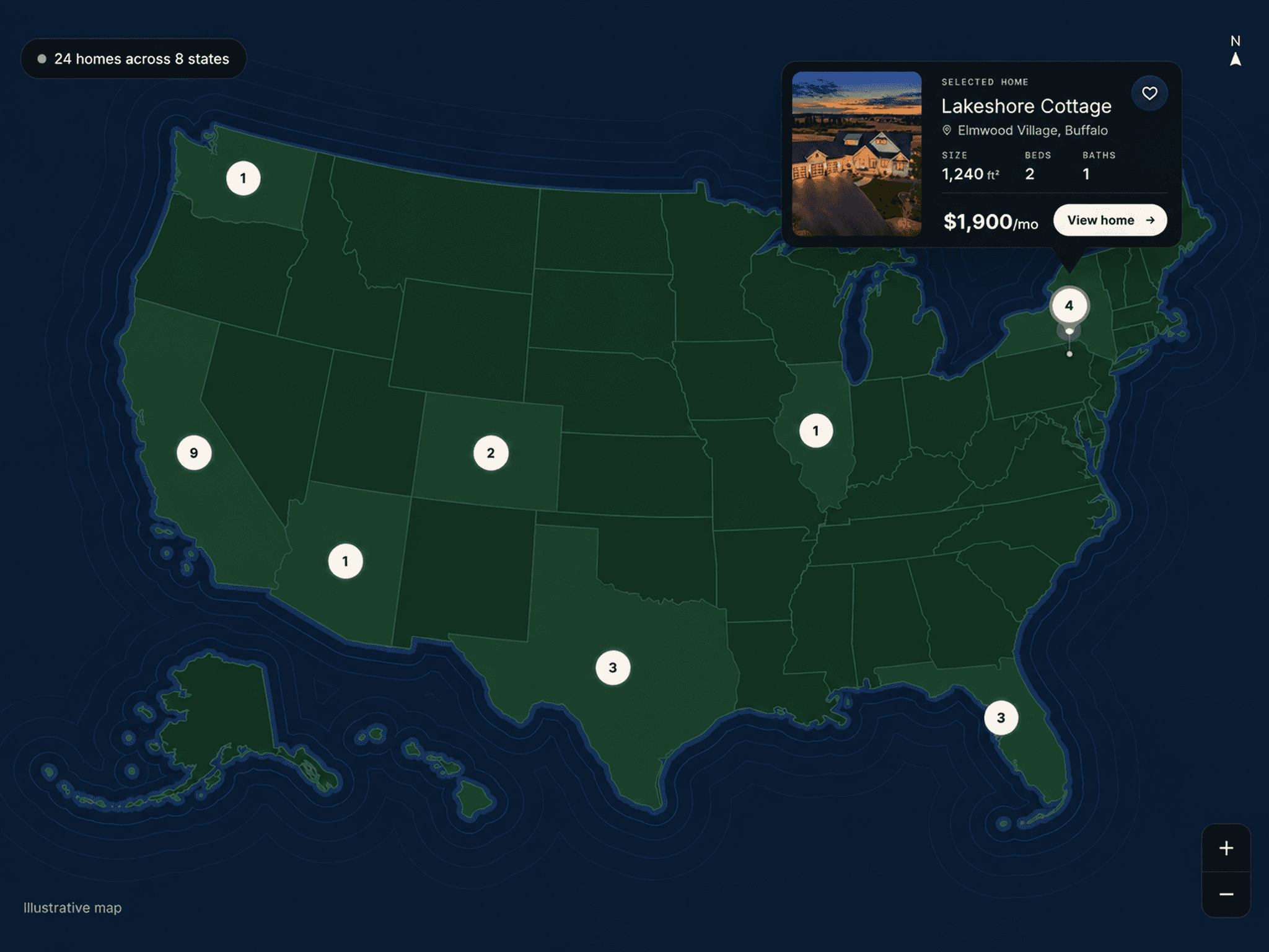
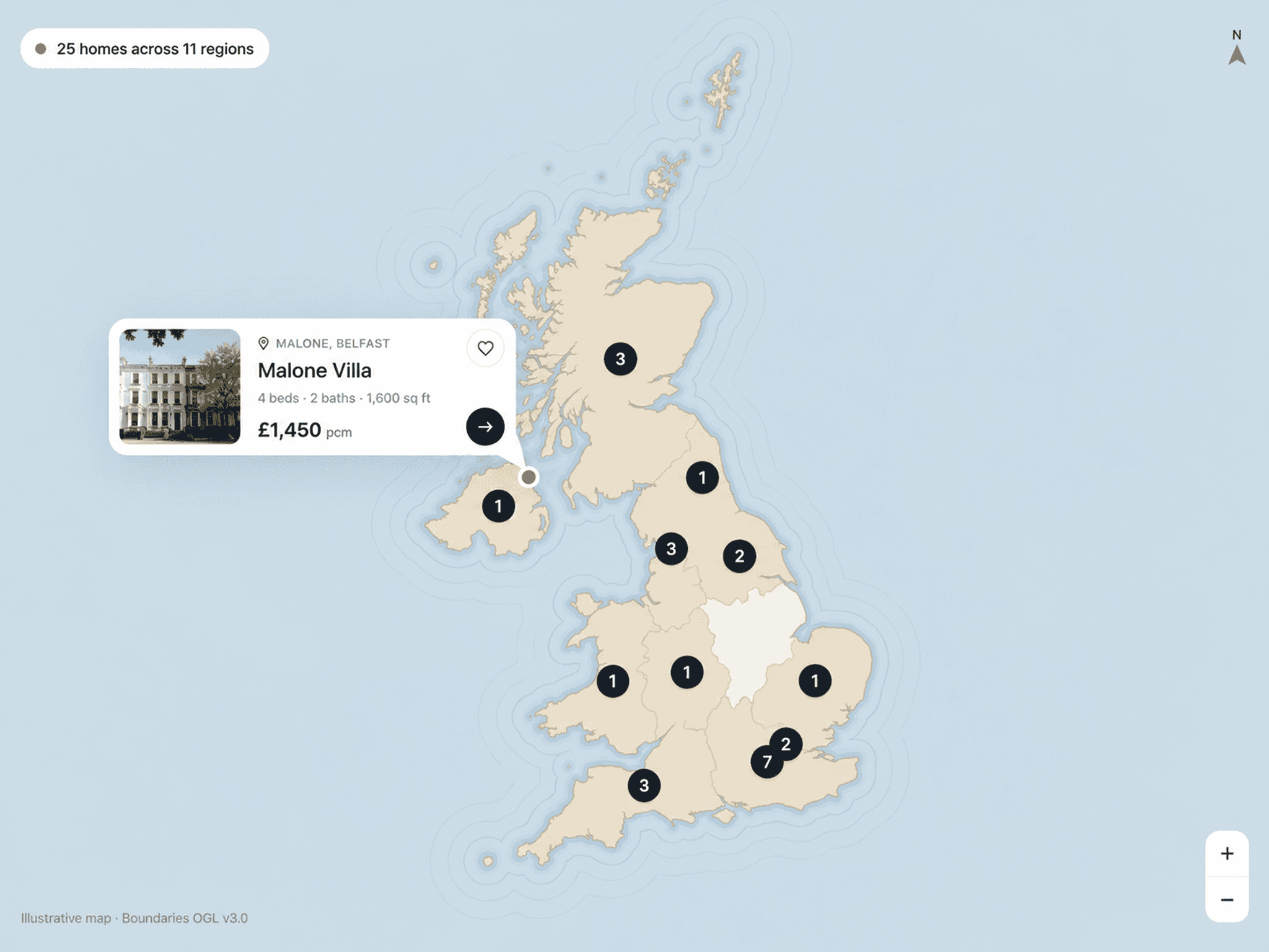
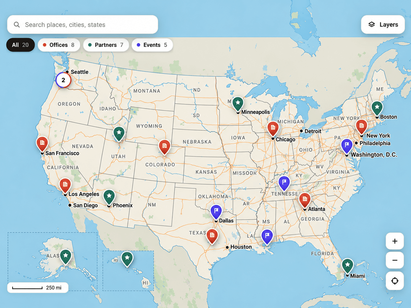
Dynamic USA Map is a premium interactive USA map for Framer that combines detailed geography, smooth navigation, custom location markers, and elegant information panels. Explore states, counties, cities, highways, rivers, lakes, and parks through a beautifully designed map with responsive interactions.
Features
Detailed USA Map — Explore the United States with Alaska and Hawaii insets.
State & County Boundaries — Display detailed geographic borders with interactive highlighting.
Custom Location Markers — Add locations using coordinates, category colors, and custom icons.
Interactive Location Panels — Showcase images, titles, addresses, descriptions, coordinates, and links.
Smart Search & Filters — Search places, cities, and states or filter locations by category.
Smooth Map Navigation — Drag, zoom, and explore with animated transitions and touch gestures.
Rich Geographic Layers — Display highways, roads, rivers, lakes, parks, cities, and route shields.
Five Map Themes — Choose Atlas, Dusk, Blueprint, Ink, or custom colors.
Smart Marker Grouping — Keep nearby locations organized with adjustable grouping.
Advanced Map Controls — Customize zoom buttons, layer menu, locator, scale bar, coordinates, typography, and responsive layout.
Where to Use
Dynamic USA Map is ideal for office directories, store locators, real estate websites, travel platforms, national park guides, franchise networks, event maps, business locations, and geographic storytelling.
Its detailed geography, smooth navigation, and customizable location panels make it a powerful addition to modern Framer websites.
I hope you enjoy using Dynamic USA Map! For custom components or other Framer-related projects, contact oddframeworks@gmail.com.