About Map USA
Detailed Overview
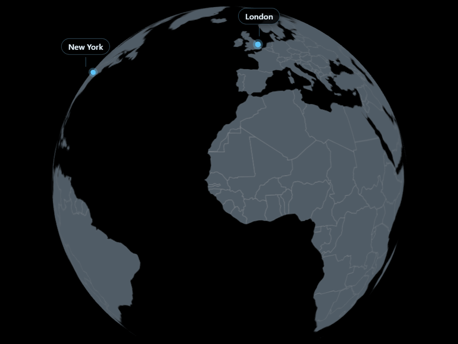
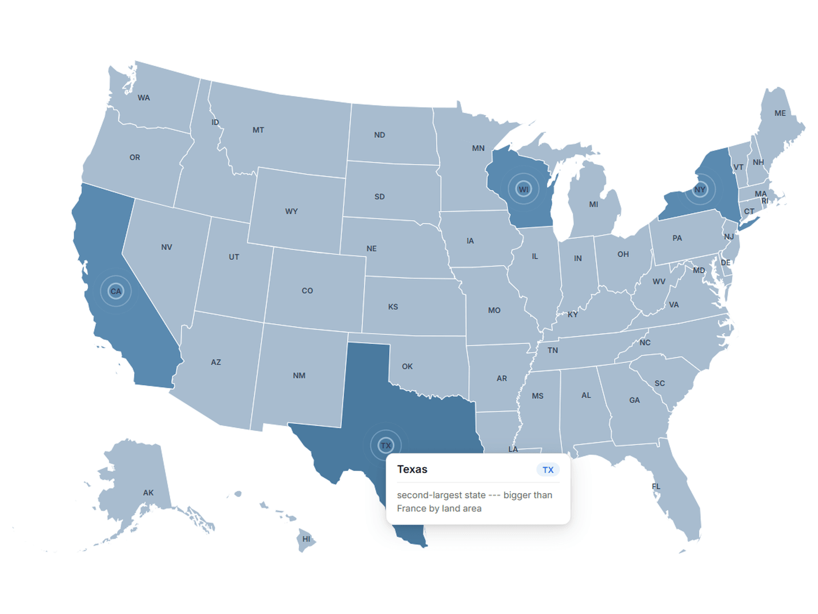
Map USA is a premium interactive USA map component built to create polished, engaging geographic experiences. Explore the map through highlighted states, interactive hover effects, custom tooltips, animated pulse rings, and configurable state labels. Designed for modern websites, this map gives you full control over how states are displayed and how users interact with the USA map.
Key Features
Interactive State Selection — Choose which states are active and interactive on the map
Custom Tooltips — Add custom headings and descriptions for individual states
Hover Effects — Give selected states a distinct hover color for clear interaction feedback
Animated Pulse Rings — Add elegant animated rings around selected states
Customizable Pulse Animation — Control pulse color, radius, number of rings, and animation speed
State Labels — Show or hide state abbreviation labels directly on the map
Custom State Colors — Configure default, selected, and selected-hover colors
Custom Tooltip Styling — Personalize tooltip background, text, badge, and description colors
Adjustable Map Scale — Easily control the overall size of the USA map
Responsive Layout — Scale the map cleanly across different layouts and screen sizes
Clean SVG Map — Crisp state shapes that remain sharp at different sizes
Best For
Interactive USA map websites
Location and geographic interfaces
Data visualization projects
Travel and tourism websites
Educational map experiences
State selection interfaces
Business and regional websites
Interactive landing pages
Dashboards and directories
Portfolio and creative websites
Geographic storytelling
Premium map sections and visualizations.