About Pixel World Map
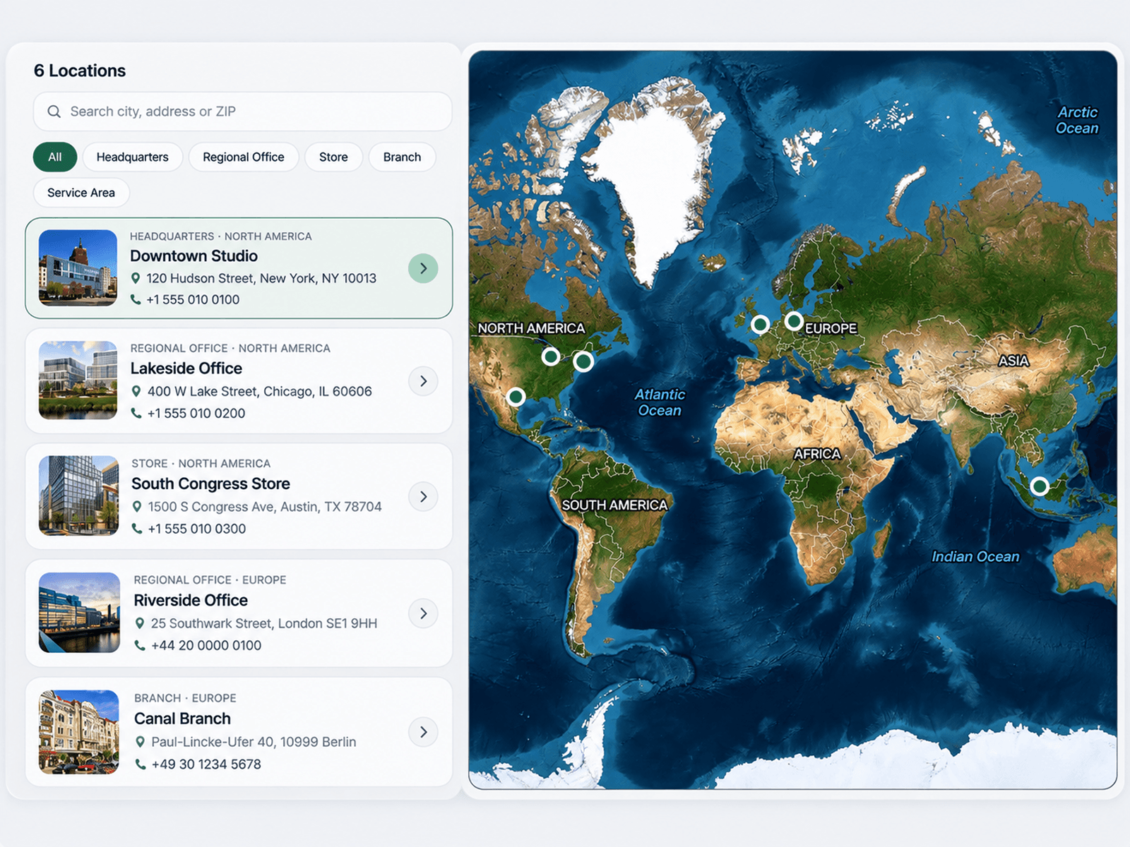
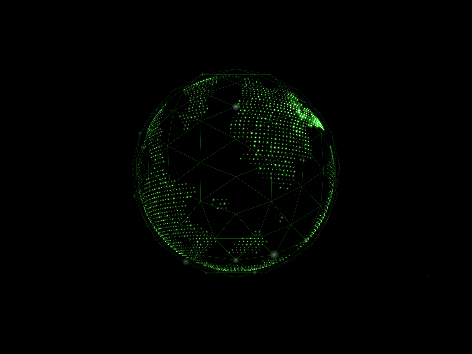
Pixel World Map transforms geographic data into a beautiful, interactive pixel map with animated heatmaps, location markers, and connecting routes. Featuring a distinctive pixel-grid aesthetic, smooth navigation, and rich location details, it creates an engaging way to visualize global presence, geographic activity, and location-based information.
Explore the entire world or focus on specific regions, highlight important locations, and display data through colorful heatmaps. With interactive markers, animated connections, customizable themes, and responsive layouts, Pixel World Map brings geographic storytelling to modern websites.
✦ Key Features
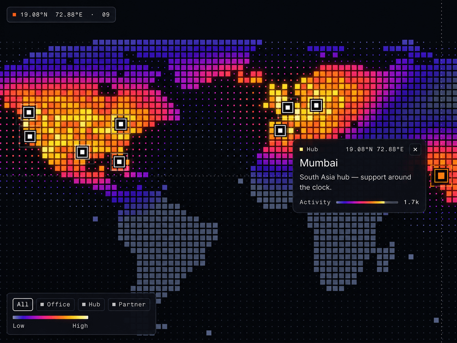
Interactive Pixel Map - Display continents and countries using square, rounded, or dot-style pixels.
Regional Views - Explore the world, North America, South America, Europe, Africa, Asia, the Middle East, and Oceania.
Custom Map Views - Adjust zoom, geographic center, pixel density, and spacing.
Animated Heatmaps - Visualize geographic data with adjustable intensity and spread.
Color Palettes - Choose Thermal, Spectrum, Aurora, Ember, Ice, or custom accent colors.
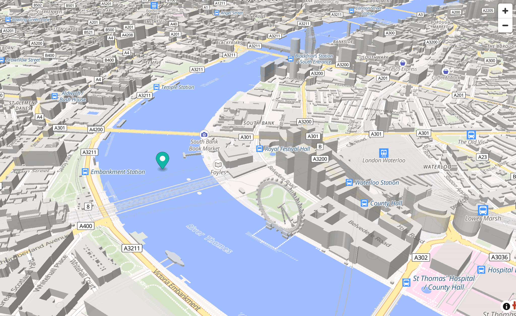
Location Markers - Add custom locations using latitude and longitude coordinates.
Interactive Cards - Display location images, descriptions, coordinates, values, and links.
Animated Routes - Connect locations with animated geographic paths.
Live Daylight - Visualize day and night across the world.
Category Filters - Organize and filter locations by category.
Flexible Data Sources - Add locations manually or import CSV and JSON data.
Automatic Location Tour - Guide visitors through featured locations.
Six Premium Themes - Midnight, Graphite, Deep Sea, Frost, Paper, and Sand.
Custom Styling - Personalize colors, typography, labels, markers, and backgrounds.
✦ Use Cases
Global office directories, company locations, travel websites, geographic dashboards, data visualization, network maps, logistics platforms, and interactive portfolios.