About Hachure
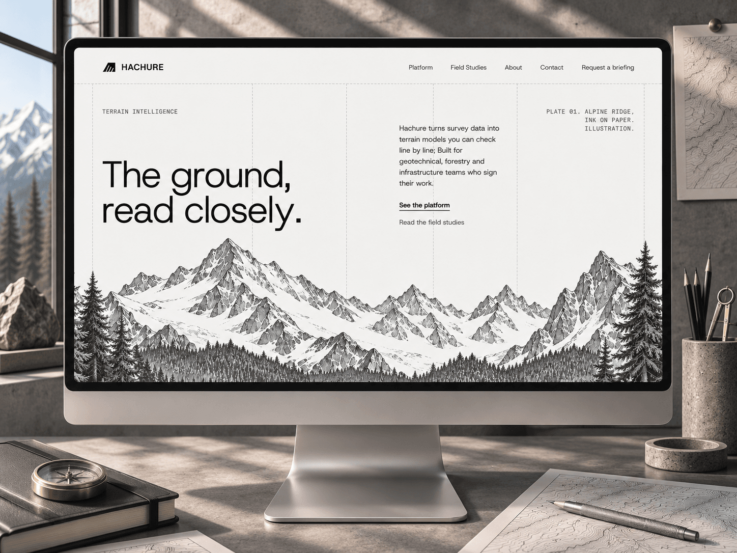
Hachure is a free Framer template for terrain intelligence platforms, geotechnical software, mapping products, infrastructure tools, and technical SaaS teams.
Built around a fictional terrain modeling platform, Hachure turns complex field data into a precise, editorial product experience designed around inspection, verification, and technical clarity.
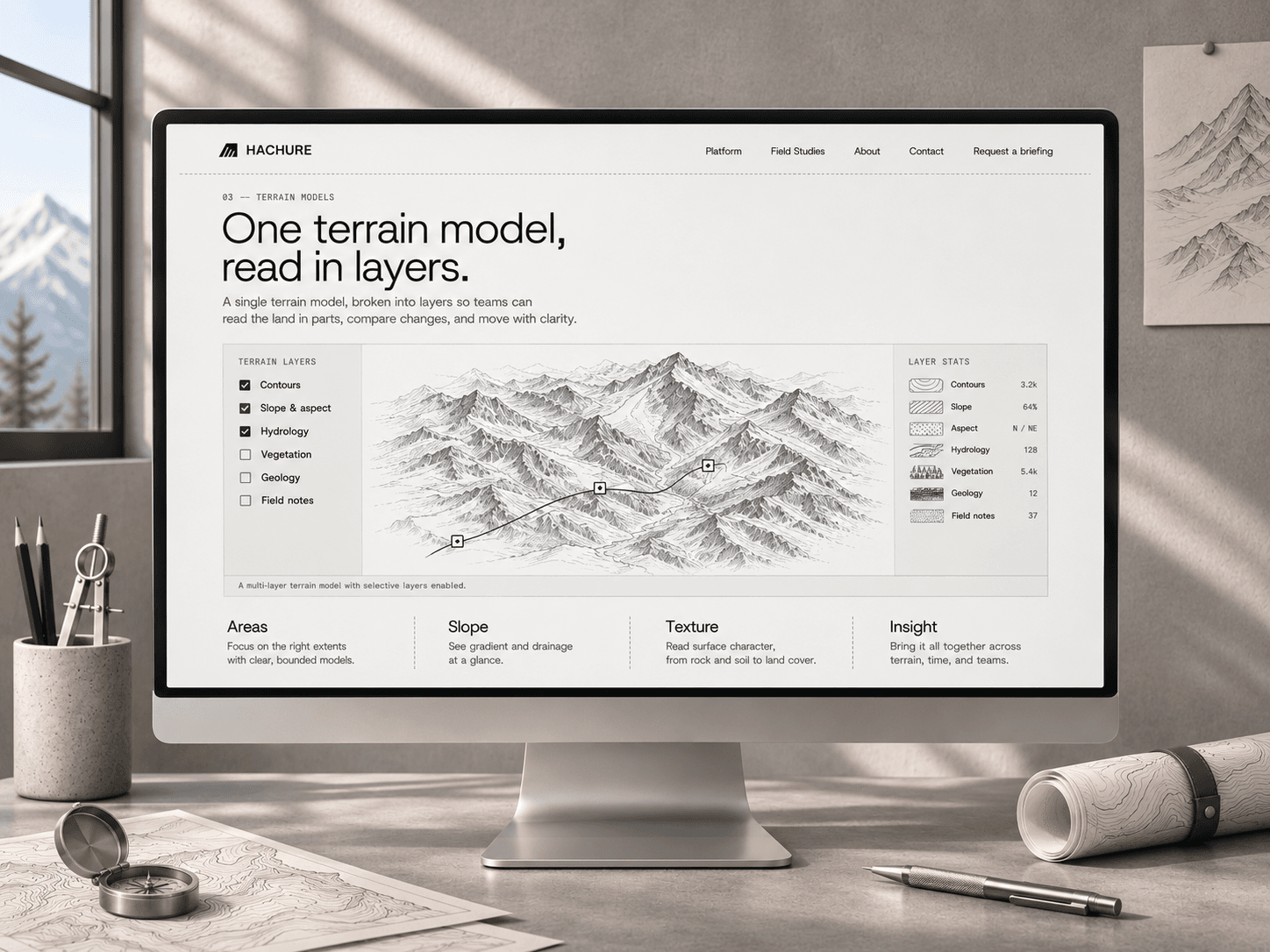
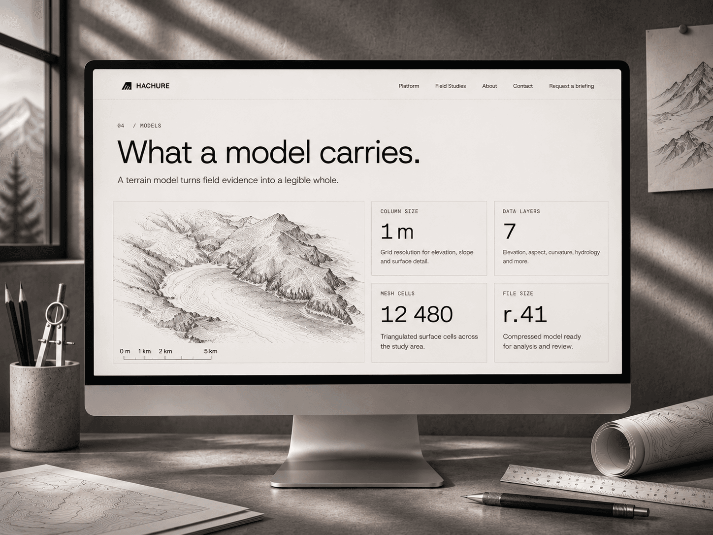
The template combines layered terrain models, field studies, technical data panels, workflow explanations, and detailed model statistics inside a restrained monochrome visual system inspired by survey drawings and topographic documentation.
---
Included:
• Terrain intelligence homepage
• Layered terrain model presentation
• Contour, slope and hydrology data views
• Field studies index
• Technical model statistics
• Platform workflow section
• Terrain methodology presentation
• Field notes section
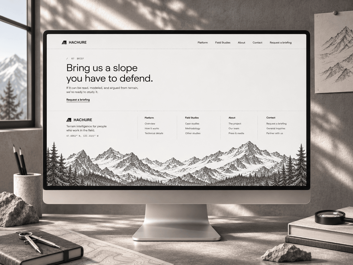
• About and contact content
• Request a briefing CTA
• Reusable components and styles
• AI-ready structure for further customization
This is a free starter template and will continue to receive small quality and usability updates over time.
---
Changelog
v1.0 • Initial release
• Terrain intelligence homepage included
• Layered model presentation included
• Field studies index included
• Technical model statistics included
• Platform workflow included
• Field notes and briefing sections included
---
Planned updates
• Additional terrain and data presentation options
• More technical product layouts
• Small usability and structure improvements
Made by @Creative Dima