About US States Vector
US States Vector Silhouette Pack
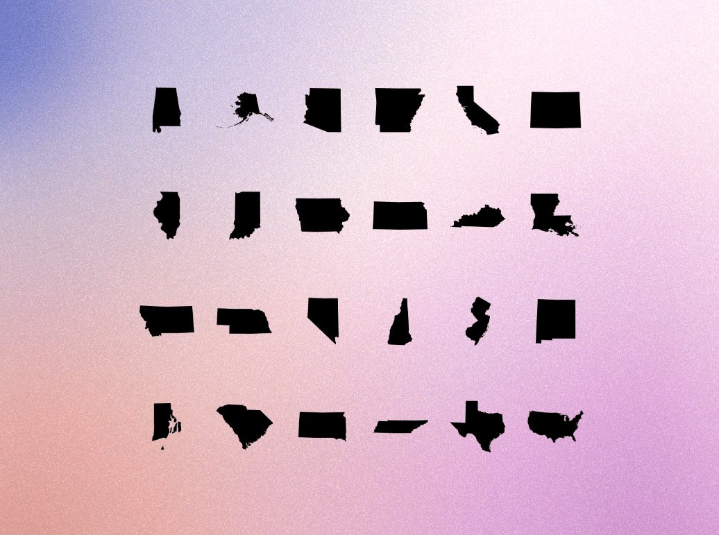
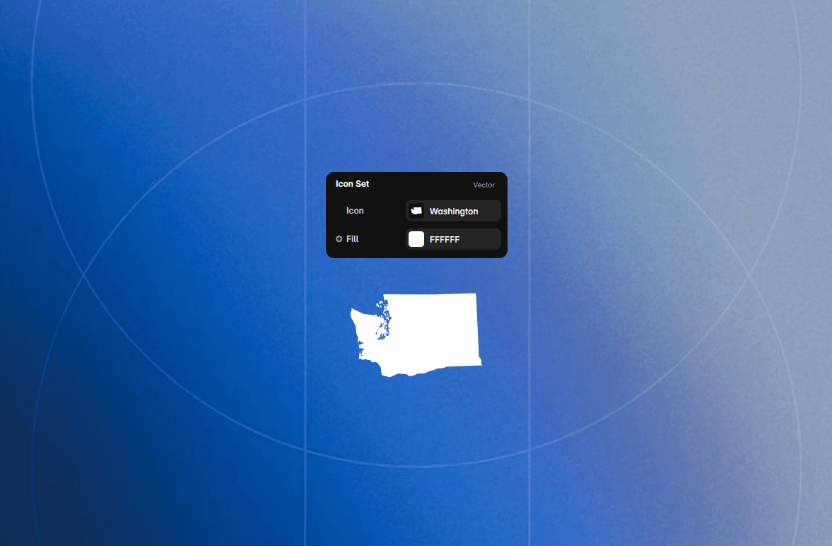
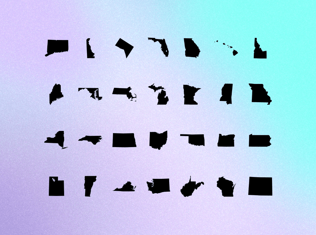
A comprehensive, high-precision vector collection of all 50 US state geographic silhouettes plus Washington D.C. and a complete nationwide map graphic. Created by Karim Saif, this asset set offers clean, scalable vector outlines built for interactive web maps, infographics, travel platforms, and regional UI dashboards.
🌌 What It Does🗺 Complete Geographic Coverage
All 50 States + Federal District: Includes individual silhouette vectors for all U.S. states (from California and Texas to Alaska and Hawaii) along with Washington D.C. and a complete U.S. nation silhouette.
Geographically Precise Paths: Detailed vector outlines capturing real geographic coastlines, state borders, panhandles, and island chains with smooth node fidelity.
📐 Clean Solid Silhouettes
Flat Vector Shapes: Minimalist solid black fills designed for effortless styling, hover-state color shifts, and seamless visual integration across dark and light UI themes.
Uniform & Scalable: Pixel-perfect vector boundaries optimized for ultra-crisp rendering at small icon scales as well as large hero-section visual displays.
🚀 Best Used For
📍 Interactive store locators, real estate platforms, and shipping region selectors
📊 Infographics, election visualizers, and data analytics dashboards
✈ Travel blogs, tourism portals, and regional service directories
📱 Mobile app state selection interfaces and geographical filtering systems
Made with 💛 by @Karim Saif