About Interactive Dot Map
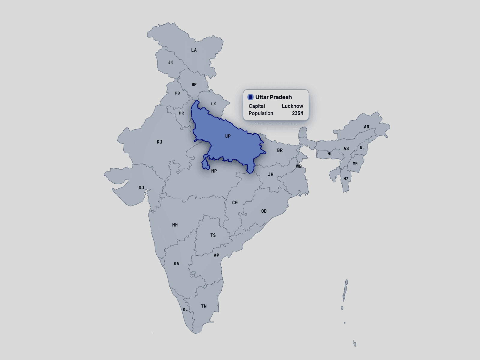
Create an elegant interactive world map directly in Framer.
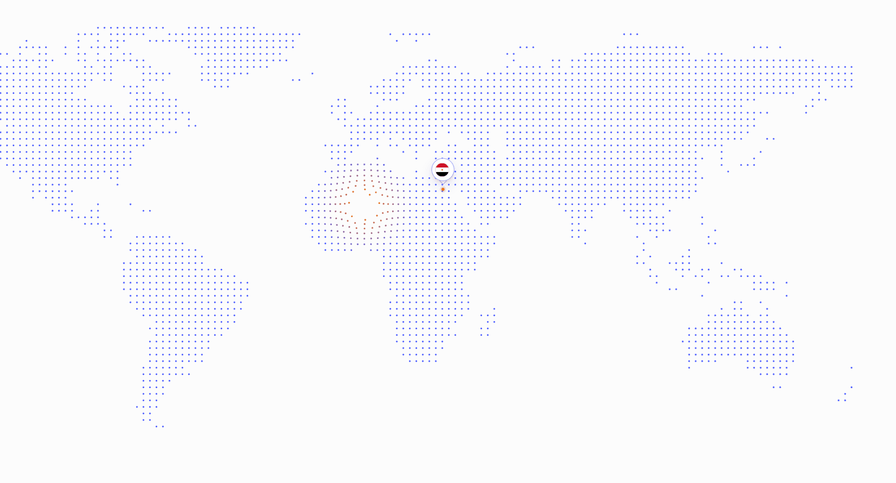
Interactive Dot World Map uses lightweight canvas rendering and precomputed geographic data to deliver smooth interactions.
Choose between Simple and Detailed geography, drag horizontally to change the map center, and add customizable country or city labels using real latitude and longitude coordinates.
Features:
Accurate precomputed world geography
Simple and Detailed map styles
Infinite horizontal dragging
Mouse-reactive dots
Color, Scale, Repel, and Color + Repel interactions
Custom country and city locations
Real latitude and longitude positioning
Automatic SVG country flags
Custom flag and icon uploads
Custom typography, colors, labels, and markers
Animated pulsing location markers
Optional Antarctica
Responsive high-resolution canvas rendering
Keyboard navigation
Screen-reader descriptions and announcements
Visible keyboard focus indicators
Reduced-motion support
Ideal for portfolios, agencies, international companies, global teams, product websites, network visualizations, and location-based storytelling.