About Europe Map
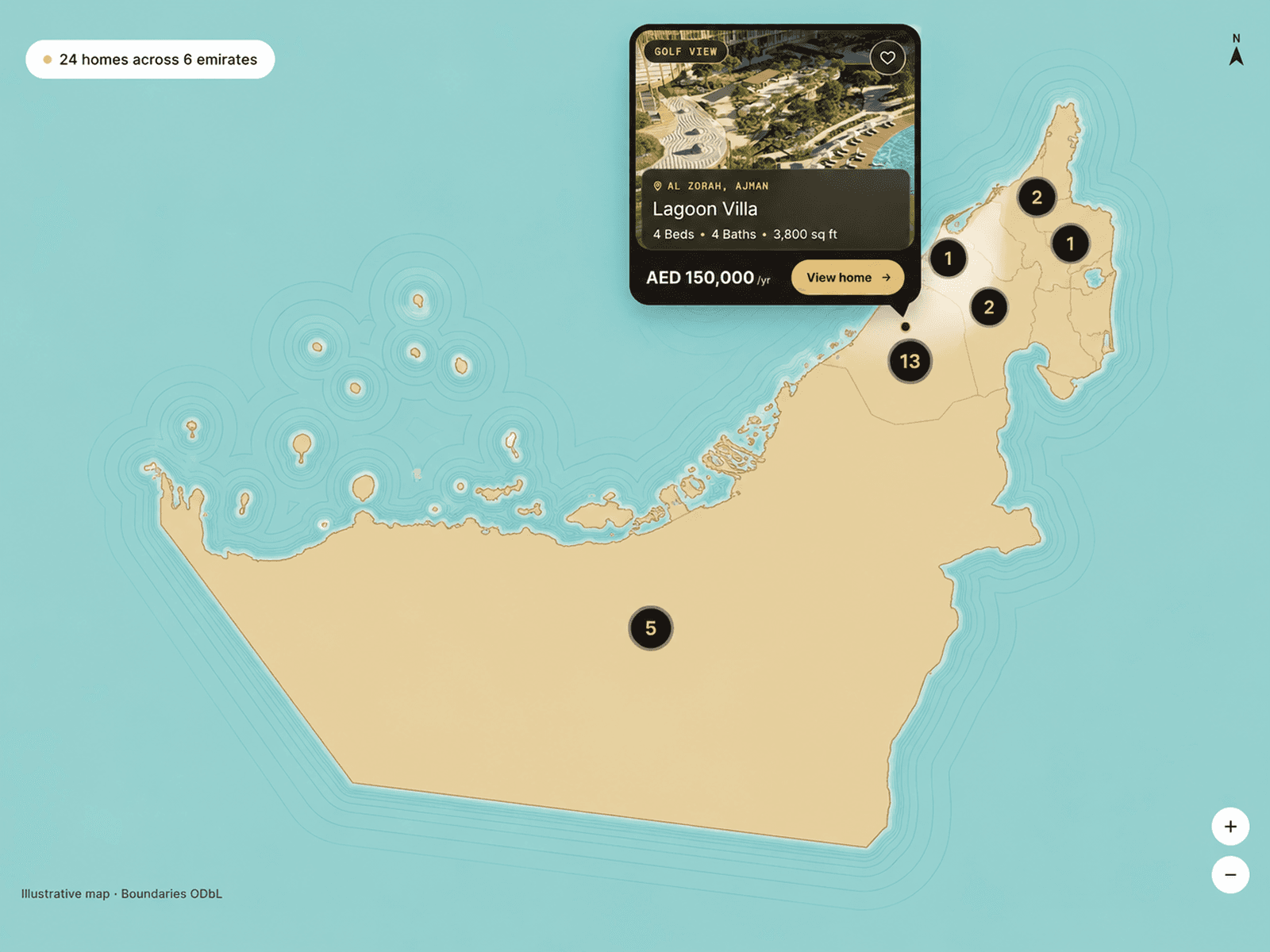
This interactive Europe map component dynamically loads geographic data and converts it into scalable SVG paths for smooth rendering inside Framer.
Each country responds to hover actions by changing color and displaying a floating information box showing the country name and custom content such as branch details or contacts.
It’s lightweight, responsive, and fully customizable without editing code — making it perfect for professional websites and data-driven UI designs.
Key Features
Real geographic Europe map (auto loaded)
Smooth hover highlighting
Floating tooltip with custom text
Editable colors for map, borders & background
Select & highlight countries manually
Custom font controls in Framer
Responsive SVG scaling
Fast loading & clean performance
Best For
Company branch locator
Interactive dashboards
Educational geography tools
Travel & tourism sites
Data visualization projects
SaaS landing pages