About USA Map
Overview
This Framer code component renders a fully interactive political map of the United States using real GeoJSON data.
Users can:
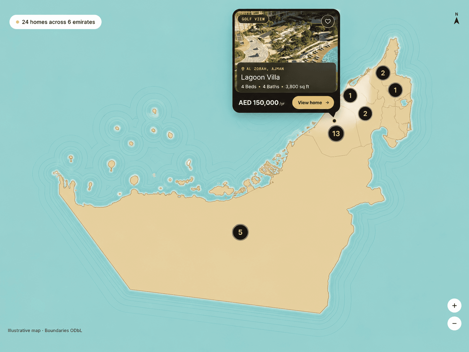
• Hover states to view names and details
• Search states instantly
• Highlight selected regions

• Show animated location pointers
Key Features
• Accurate SVG state boundaries
• Hover tooltips with custom state info
• Built-in state search with highlight
• Selected state color control
• Animated pulsing location markers
• Full color and font customization
• Optimized React performance
• Framer-ready property controls
Best For
• Business location maps
• Branch or office finders
• Analytics dashboards
• Educational geography tools
• Interactive infographics
• SaaS visual data displays