About North America Map
📘 Overview
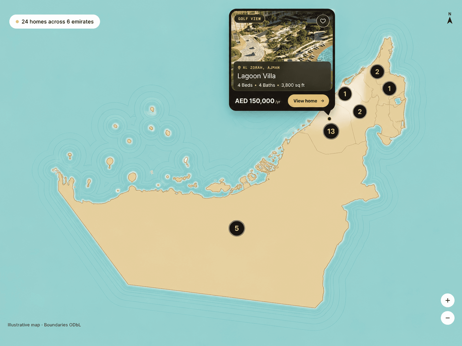
This Framer code component renders a high-quality interactive political map of North America using real GeoJSON data.
Users can hover over countries to view custom details, highlight selected regions, and fully customize colors, borders, background, and tooltip typography — all without touching code.
It’s fast, responsive, and production-ready.
Key Features
Real SVG map generated from GeoJSON
Smooth hover highlighting for each country
Floating tooltip with custom content per country
Pre-select and highlight countries
Fully customizable colors & fonts
Lightweight and responsive
Best For

Company office location maps
SaaS region coverage visuals
Travel & geography websites
Business expansion pages
Data visualization dashboards
Interactive landing pages