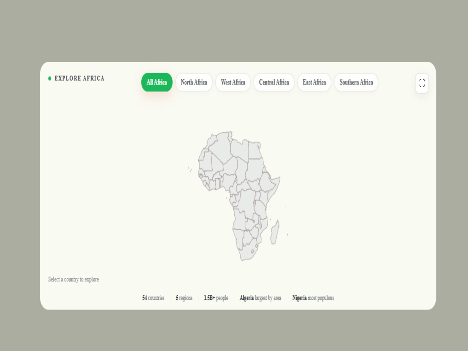
This interactive Africa map component transforms geographic exploration into a polished, engaging experience. Users can browse countries by region, select individual countries to highlight them on the map, and instantly view useful details such as population, capital, area, currency, languages, and GDP per capita. With smooth interactions, clean visual hierarchy, and a responsive information card, it works beautifully for travel, geography, data visualization, education, and global business websites.

This interactive Africa map component transforms geographic exploration into a polished, engaging experience. Users can browse countries by region, select individual countries to highlight them on the map, and instantly view useful details such as population, capital, area, currency, languages, and GDP per capita. With smooth interactions, clean visual hierarchy, and a responsive information card, it works beautifully for travel, geography, data visualization, education, and global business websites.